Maps·1803
A map of the reservations at Fort Wayne, surveyed June 1803
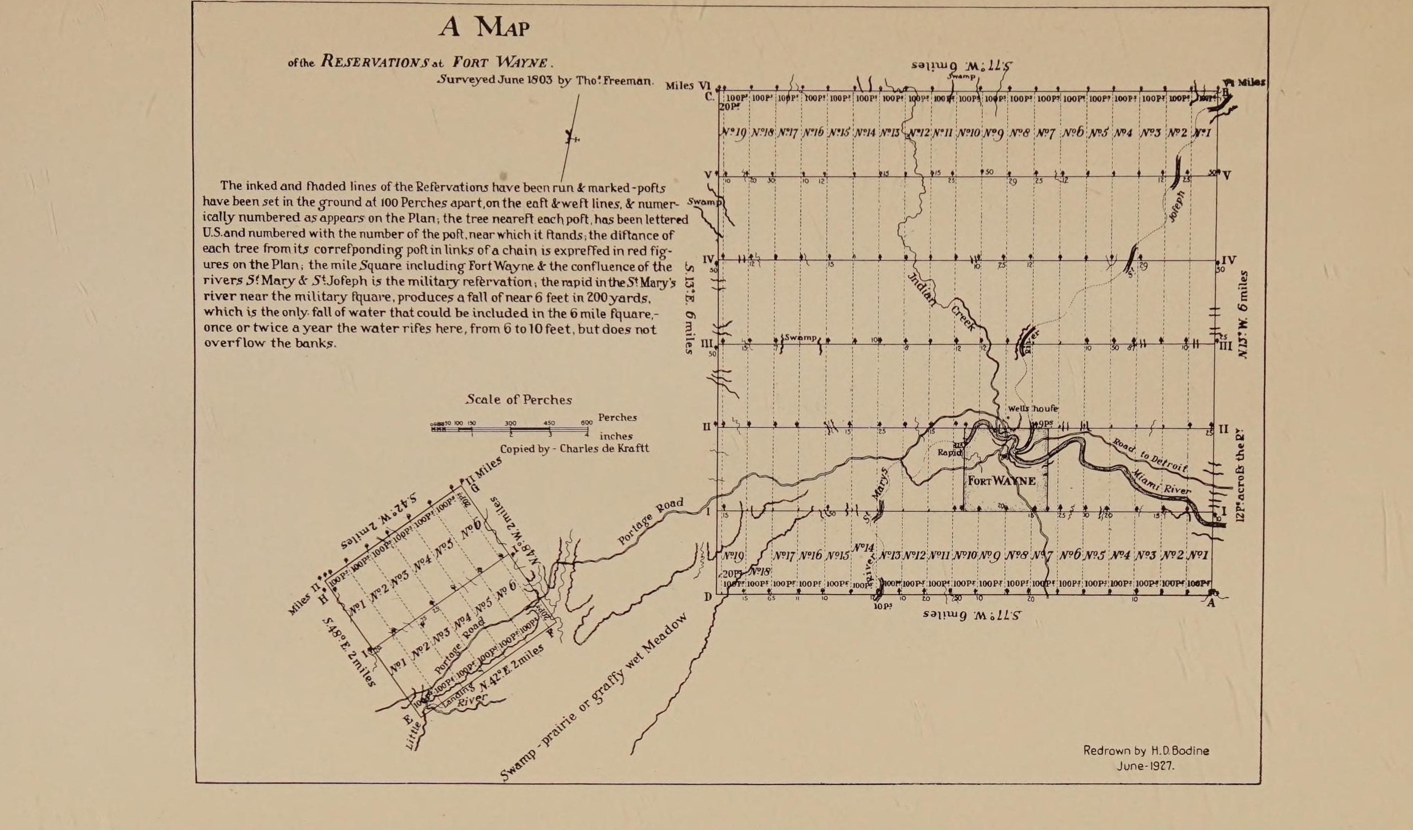
This plate is not tiled, so it cannot be zoomed here. What is served is the whole plate at its full scanned width, and the item it came from is linked below.
Fort Wayne, Gateway of the West, 1802-1813, edited by Bert J. Griswold, Indiana Historical Collections volume XV, 1927, the plate facing printed folio 132, scan leaf n154.
Internet Archive
Public domain. Published before 1929, so out of copyright in the United States.
Crop box Leaf n154, rotated a quarter turn anti-clockwise so the title reads horizontally, then cropped from (100,100), 2790 by 1640. on the source sheet.
Served at /maps/sheet/freeman-1803-redrawn-1927.